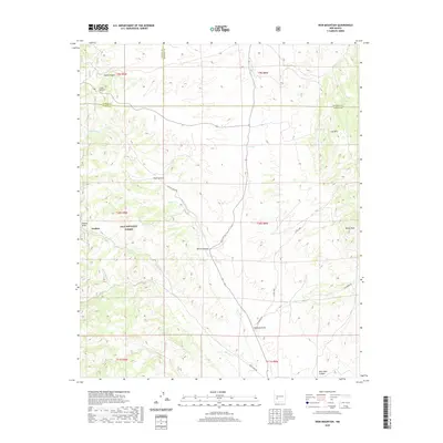
2020 Map of Iron Mountain
USGS Topo · Published 2020About this map
Grafton sits within the Gila National Forest, marking a point of historic interest near the headwaters of Poverty Cr and Alaska Draw. This high-altitude terrain in the San Mateo Mountains is defined by sharp elevation shifts between Iron Mtn and Reilly Peak. The landscape is a network of deep drainages and canyons, including Sheep Canyon and Rouse Canyon, where water sources like Piñon Spring and C C Tank provided essential support for ranching or mining operations in this isolated corner of New Mexico.
Find a feature on this map
31 named features on this map. Tap any name to fly to it.
Don’t see what you’re looking for? This feature index may not catch every label — zoom into the map to look around manually.
Map Details
Editions of this 2020 Iron Mountain Map
This is the sole edition of this map. No revisions or reprints were ever made.
Other maps of this area
1949 · Lookout Mountain
USGS Topo · 1:62,500

1954 · Tularosa
USGS Topo · 1:250,000

1958 · Tularosa
USGS Topo · 1:250,000
1964 · Montoya Butte
USGS Topo · 1:24,000
1965 · Winston
USGS Topo · 1:24,000
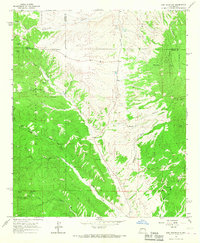
1965 · Iron Mountain
USGS Topo · 1:24,000
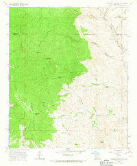
1965 · Jaralosa Mountain
USGS Topo · 1:24,000
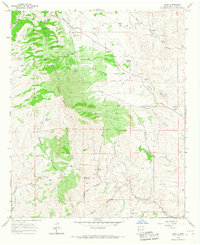
1965 · Chise
USGS Topo · 1:24,000
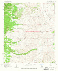
1965 · Wahoo Peak
USGS Topo · 1:24,000
1979 · Truth or Consequences
USGS Topo · 1:100,000