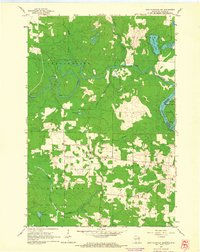
1962 Map of Iron Mountain SW
USGS Topo · Published 1964About this map
The Menominee River and Pine River define the northern and eastern landscape of this early 1960s survey, marking the jagged border between Florence County and Michigan's Dickinson County. While much of the terrain is dominated by water and woodland, including Ellwood Lake and Sand Lake, the eastern edge reveals the developing industrial character of Kingsford and the small settlement at Cowboy.
Find a feature on this map
21 named features on this map. Tap any name to fly to it.
Don’t see what you’re looking for? This feature index may not catch every label — zoom into the map to look around manually.
Map Details
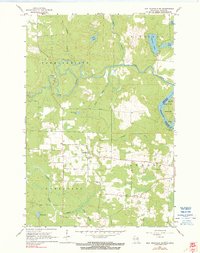
Editions of this 1962 Iron Mountain SW Map
2 editions found
Other maps of this area

1939 · Dunbar
USGS Topo · 1:48,000

1939 · Goodman
USGS Topo · 1:48,000

1939 · Iron Mountain
USGS Topo · 1:48,000

1941 · Florence
USGS Topo · 1:48,000

1941 · Dunbar
USGS Topo · 1:48,000

1941 · Iron Mountain
USGS Topo · 1:48,000

1946 · Goodman
USGS Topo · 1:48,000

1947 · Dunbar
USGS Topo · 1:48,000

1947 · Iron Mountain
USGS Topo · 1:48,000

1947 · Stager
USGS Topo · 1:24,000