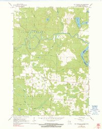
1962 Map of Iron Mountain SW
USGS Topo · Published 1990About this map
The Menominee River and the Pine River dominate the landscape of this border region between Wisconsin and Michigan in the early 1960s. Hydroelectric development is a key feature of the terrain, marked by the Henry Ford Dam and a Power Plant situated along the river bends. This survey documents the rural character of the Homestead and Aurora townships, where the grid of fence and field lines indicates active agriculture alongside the wetlands of the Little Popple River. Local social and economic life is anchored by landmarks such as the Aurora Free Ch and scattered Gravel Pits. Water bodies like Ellwood Lake, Hauserman Lake, and Cowboy L punctuate the northern and eastern portions of the quadrangle, illustrating the diverse glacial geography that defines this timber and farming country.
Find a feature on this map
25 named features on this map. Tap any name to fly to it.
Don’t see what you’re looking for? This feature index may not catch every label — zoom into the map to look around manually.
Map Details
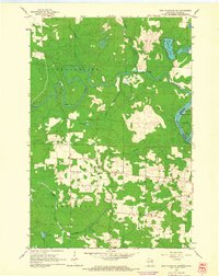
Editions of this 1962 Iron Mountain SW Map
2 editions found
Other maps of this area

1939 · Dunbar
USGS Topo · 1:48,000

1939 · Goodman
USGS Topo · 1:48,000

1939 · Iron Mountain
USGS Topo · 1:48,000

1941 · Florence
USGS Topo · 1:48,000

1941 · Dunbar
USGS Topo · 1:48,000

1941 · Iron Mountain
USGS Topo · 1:48,000

1946 · Goodman
USGS Topo · 1:48,000

1947 · Dunbar
USGS Topo · 1:48,000

1947 · Iron Mountain
USGS Topo · 1:48,000

1947 · Stager
USGS Topo · 1:24,000