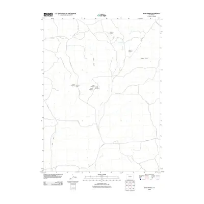
2010 Map of Iron Springs
USGS Topo · Published 2010About this map
Iron Springs serves as the namesake landmark for this Moffat County landscape, where the high desert terrain is carved by the drainages of Lay Creek and Spring Creek. The geography here is defined by its industrial potential, specifically marked by numerous airborne radiometric surveys conducted in the mid-20th century. A cluster of mining prospects, including Airborne Anomaly B17-103 Mine and Airborne Anomaly B17-104 Mine, speaks to the era of uranium exploration in the Rocky Mountain West. Local travel is facilitated by a network of county roads such as County Hwy 7 and County Rd 17, which navigate the rises and falls of Bord Gulch and Dressler Gulch. The map illustrates a transition between open range and the site-specific investigation of mineral resources.
Find a feature on this map
18 named features on this map. Tap any name to fly to it.
Don’t see what you’re looking for? This feature index may not catch every label — zoom into the map to look around manually.
Map Details
Editions of this 2010 Iron Springs Map
This is the sole edition of this map. No revisions or reprints were ever made.
Other maps of this area
1916 · Craig
USGS Topo · 1:125,000

1954 · Craig
USGS Topo · 1:250,000
1957 · Craig
USGS Topo · 1:250,000
1958 · Craig
USGS Topo · 1:250,000
1960 · Craig
USGS Topo · 1:250,000
1962 · Craig
USGS Topo · 1:250,000
1964 · Craig
USGS Topo · 1:250,000
1965 · Craig
USGS Topo · 1:250,000
1969 · Adobe Springs
USGS Topo · 1:24,000
1969 · Great Divide
USGS Topo · 1:24,000