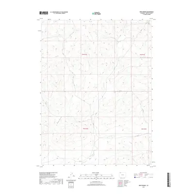
2019 Map of Iron Springs
USGS Topo · Published 2019About this map
Iron Springs serves as a central landmark in this high-altitude drainage basin within the northwestern reaches of Colorado. The landscape is defined by a network of seasonal watercourses and topographic depressions, most notably Lay Creek and Spring Cr. These vital water sources dictated the early movement of people and livestock through this part of Moffat County, reflected today in the grid of county roads that navigate the complex terrain.
Find a feature on this map
15 named features on this map. Tap any name to fly to it.
Don’t see what you’re looking for? This feature index may not catch every label — zoom into the map to look around manually.
Map Details
Editions of this 2019 Iron Springs Map
This is the sole edition of this map. No revisions or reprints were ever made.
Other maps of this area
1916 · Craig
USGS Topo · 1:125,000

1954 · Craig
USGS Topo · 1:250,000
1957 · Craig
USGS Topo · 1:250,000
1958 · Craig
USGS Topo · 1:250,000
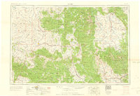
1960 · Craig
USGS Topo · 1:250,000
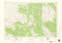
1962 · Craig
USGS Topo · 1:250,000
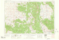
1964 · Craig
USGS Topo · 1:250,000
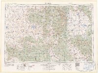
1965 · Craig
USGS Topo · 1:250,000
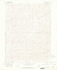
1969 · Adobe Springs
USGS Topo · 1:24,000
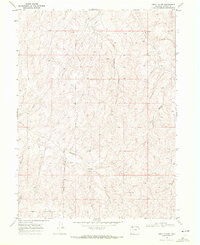
1969 · Great Divide
USGS Topo · 1:24,000