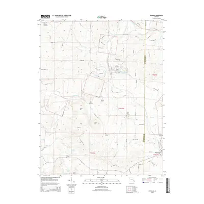
2015 Map of Irondale
USGS Topo · Published 2015About this map
Irondale and Bismarck anchor this corner of the eastern Ozarks, where the terrain transitions into the high peaks of the Saint Francois Mountains. The Big River winds through the central valley, flanked by distinctive topographic landmarks like Hughes Mtn and Round Mtn. This landscape is marked by a deep genealogical footprint, with numerous family and community burial grounds including the Big River Cemetery, Wallen Cemetery, and the Bismarck Masonic Cemetery located near the town's edge.
Find a feature on this map
99 named features on this map. Tap any name to fly to it.
Don’t see what you’re looking for? This feature index may not catch every label — zoom into the map to look around manually.
Map Details
Editions of this 2015 Irondale Map
This is the sole edition of this map. No revisions or reprints were ever made.
Other maps of this area
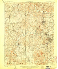
1905 · Bonneterre
USGS Topo · 1:62,500
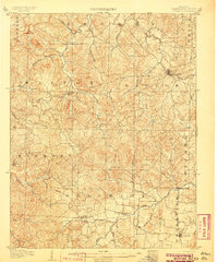
1906 · Potosi
USGS Topo · 1:62,500
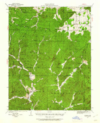
1924 · Edgehill
USGS Topo · 1:62,500
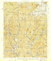
1926 · Edgehill
USGS Topo · 1:62,500
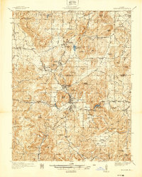
1937 · Ironton
USGS Topo · 1:48,000
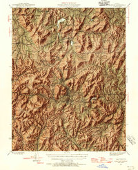
1945 · Ironton
USGS Topo · 1:62,500
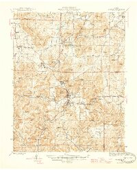
1946 · Ironton
USGS Topo · 1:62,500
1949 · Rolla
USGS Topo · 1:250,000
1953 · Ironton
USGS Topo · 1:62,500
1953 · Rolla
USGS Topo · 1:250,000