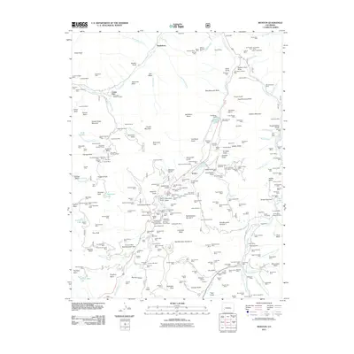
2011 Map of Ironton
USGS Topo · Published 2011About this map
The Uncompahgre River and Red Mountain Creek corridors define this high-altitude landscape, where the legacy of late 19th-century silver and gold extraction remains etched into the terrain. Dense clusters of mining claims populate the basins, with the Camp Bird and Revenue Mine complexes serving as primary hubs of activity. The geography is characterized by dramatic elevation changes, evidenced by prominent landforms like Potosi Peak and Abrams Mountain, which loom over narrow gulches filled with industrial sites such as the Sutton Mill and the Michael Breen Mine.
Find a feature on this map
275 named features on this map. Tap any name to fly to it.
Don’t see what you’re looking for? This feature index may not catch every label — zoom into the map to look around manually.
Map Details
Editions of this 2011 Ironton Map
This is the sole edition of this map. No revisions or reprints were ever made.
Other maps of this area

1897 · Telluride
USGS Topo · 1:62,500

1897 · Silverton
USGS Topo · 1:62,500

1901 · Silverton
USGS Topo · 1:62,500

1902 · Silverton
USGS Topo · 1:62,500

1902 · Ouray
USGS Topo · 1:62,500

1904 · Ouray
USGS Topo · 1:62,500

1904 · Telluride
USGS Topo · 1:62,500

1909 · Montrose
USGS Topo · 1:125,000

1911 · Montrose
USGS Topo · 1:125,000

1945 · Durango
USGS Topo · 1:250,000