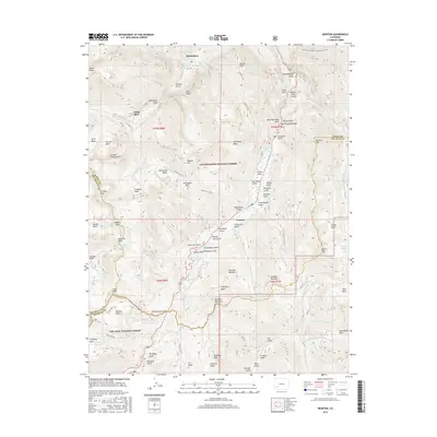
2016 Map of Ironton
USGS Topo · Published 2016About this map
Ironton and the surrounding high-altitude terrain of the San Juan Mountains are documented here in a modern landscape that preserves centuries of mineral exploration. The settlement at Ironton Park sits near the headwaters of Red Mountain Creek, a region defined by complex drainage systems like Spirit Gulch and Gray Copper Gulch. Notable peaks such as Abrams Mtn and Potosi Peak dominate the skyline, while the deep cut of the Uncompahgre Gorge provides dramatic relief near the northern boundary.
Find a feature on this map
112 named features on this map. Tap any name to fly to it.
Don’t see what you’re looking for? This feature index may not catch every label — zoom into the map to look around manually.
Map Details
Editions of this 2016 Ironton Map
This is the sole edition of this map. No revisions or reprints were ever made.
Other maps of this area

1897 · Telluride
USGS Topo · 1:62,500

1897 · Silverton
USGS Topo · 1:62,500

1901 · Silverton
USGS Topo · 1:62,500

1902 · Silverton
USGS Topo · 1:62,500

1902 · Ouray
USGS Topo · 1:62,500

1904 · Ouray
USGS Topo · 1:62,500

1904 · Telluride
USGS Topo · 1:62,500

1909 · Montrose
USGS Topo · 1:125,000

1911 · Montrose
USGS Topo · 1:125,000

1945 · Durango
USGS Topo · 1:250,000