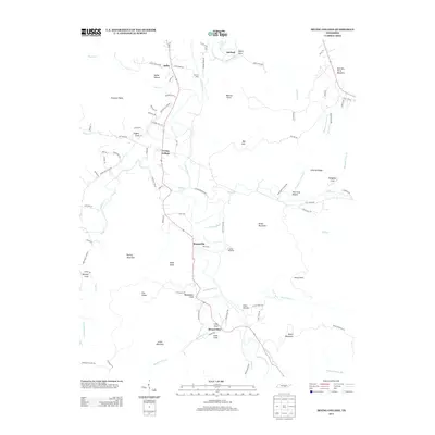
2013 Map of Irving College
USGS Topo · Published 2013About this map
Irving College sits as a central settlement in this portion of Warren County, where the landscape is defined by the winding course of the Collins River. The river's path is marked by historic crossing points like Martins Ford and tucked-away river bends such as Isleford. The topography here is a complex arrangement of high ridges and deep hollows, including Nunley Mountain to the west and Harrison Ferry Mountain to the northeast. Small, distinct communities like Steppsville, Safley, and Mount Olive are connected by a network of rural routes such as Shiloh Rd and Walker Rd. Family-named landmarks are prevalent across the terrain, seen in features like Wanamaker Cove, Stepp Knob, and Hughes Cove. Educational and recreational history is represented by the presence of Camp Woodlee near the riverbanks, while the eastern reaches are dominated by the elevations of Brown Mountain and the karst drainage of Big Sink.
Find a feature on this map
97 named features on this map. Tap any name to fly to it.
Don’t see what you’re looking for? This feature index may not catch every label — zoom into the map to look around manually.
Map Details
Editions of this 2013 Irving College Map
This is the sole edition of this map. No revisions or reprints were ever made.
Other maps of this area

1893 · Mc Minnville
USGS Topo · 1:125,000

1895 · Mc Minnville
USGS Topo · 1:125,000

1895 · Sewanee
USGS Topo · 1:125,000

1936 · Cane Hollow
USGS Topo · 1:24,000

1943 · Mc Minnville
USGS Topo · 1:100,000

1953 · Chattanooga
USGS Topo · 1:250,000

1953 · Mc Minnville
USGS Topo · 1:24,000
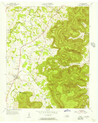
1955 · Viola
USGS Topo · 1:24,000
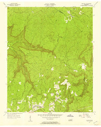
1956 · Collins
USGS Topo · 1:24,000
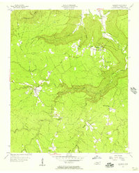
1956 · Altamont
USGS Topo · 1:24,000