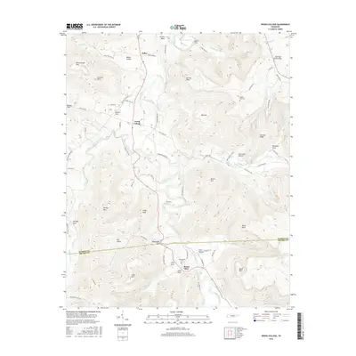
2016 Map of Irving College
USGS Topo · Published 2016About this map
The Collins River winds through the heart of this Warren County landscape, creating a series of dramatic bends and deep coves that have shaped local settlement for generations. The community of Irving College sits at a central crossroads, surrounded by distinctive peaks like Ben Lomond Mtn and Harrison Ferry Mtn. The terrain is defined by its complex karst and mountain geography, featuring the prominent Big Sink and numerous named hollows such as Safley Hollow and Hurricane Hollow.
Find a feature on this map
84 named features on this map. Tap any name to fly to it.
Don’t see what you’re looking for? This feature index may not catch every label — zoom into the map to look around manually.
Map Details
Editions of this 2016 Irving College Map
This is the sole edition of this map. No revisions or reprints were ever made.
Other maps of this area

1893 · Mc Minnville
USGS Topo · 1:125,000

1895 · Mc Minnville
USGS Topo · 1:125,000

1895 · Sewanee
USGS Topo · 1:125,000

1936 · Cane Hollow
USGS Topo · 1:24,000

1943 · Mc Minnville
USGS Topo · 1:100,000

1953 · Chattanooga
USGS Topo · 1:250,000

1953 · Mc Minnville
USGS Topo · 1:24,000
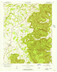
1955 · Viola
USGS Topo · 1:24,000
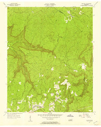
1956 · Collins
USGS Topo · 1:24,000
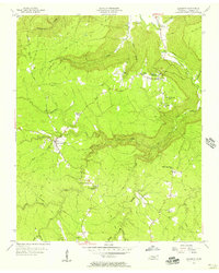
1956 · Altamont
USGS Topo · 1:24,000