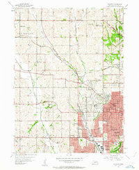
1956 Map of Irvington
USGS Topo · Published 1963About this map
Boys Town and the western expansion of Omaha define this mid-century landscape, where suburban growth begins to overtake traditional agricultural sections. The Chicago and North Western railroad winds through the center of the quadrangle, passing the settlement of Irvington and connecting the rural northern tracts with the industrializing city core. Aviation is prominent in the local economy and infrastructure, evidenced by the Omaha Air Force Station, North Omaha Airport, and the Sky Ranch Landing Field.
Find a feature on this map
60 named features on this map. Tap any name to fly to it.
Don’t see what you’re looking for? This feature index may not catch every label — zoom into the map to look around manually.
Map Details
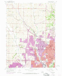
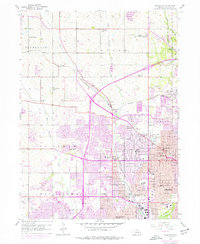
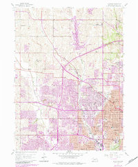
Editions of this 1956 Irvington Map
5 editions found
Other maps of this area

1893 · Omaha
USGS Topo · 1:62,500

1893 · Fremont
USGS Topo · 1:125,000

1896 · Fremont
USGS Topo · 1:125,000

1954 · Omaha
USGS Topo · 1:250,000

1955 · Fremont
USGS Topo · 1:250,000

1956 · Gretna
USGS Topo · 1:24,000

1956 · Ralston
USGS Topo · 1:24,000

1956 · Irvington
USGS Topo · 1:24,000

1956 · Omaha North
USGS Topo · 1:24,000

1956 · Omaha South
USGS Topo · 1:24,000