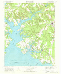
1968 Map of Irvington
USGS Topo · Published 1971About this map
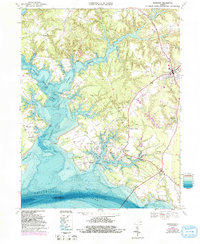
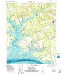
Christ Church stands as a central historical anchor in this late 1960s survey of the Northern Neck peninsula. The landscape is defined by the intricate fingers of the Corrotoman River and its numerous creeks, where maritime life centered around locations like Ottoman Wharf and Moran Wharf. In the bustling hub of Kilmarnock, the map reveals a community in transition, showing the Drive-in Theater and Chesapeake Academy alongside several local churches.
Find a feature on this map
79 named features on this map. Tap any name to fly to it.
Don’t see what you’re looking for? This feature index may not catch every label — zoom into the map to look around manually.
Map Details
Editions of this 1968 Irvington Map
6 editions found
Other maps of this area

1916 · Kilmarnock
USGS Topo · 1:48,000

1917 · Heathsville
USGS Topo · 1:48,000

1917 · Urbanna
USGS Topo · 1:62,500

1917 · Morattico
USGS Topo · 1:62,500

1917 · Kilmarnock
USGS Topo · 1:62,500

1918 · Morattico
USGS Topo · 1:62,500

1926 · Morattico
USGS Topo · 1:62,500

1942 · Kilmarnock
USGS Topo · 1:62,500

1943 · Richmond
USGS Topo · 1:250,000

1944 · Reedville
USGS Topo · 1:31,680