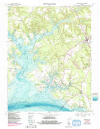
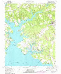
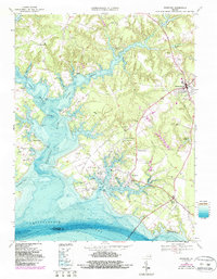
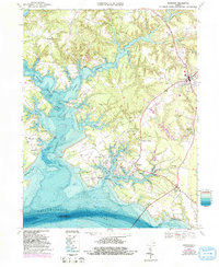
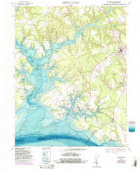
1968 Map of Irvington
USGS Topo · Published 1991About this map
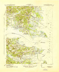
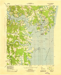
Christ Church stands as a focal point of this maritime landscape in Lancaster County, surrounded by a complex network of tidal creeks and river landings. During the late twentieth century, this region maintained its deep connection to the water, illustrated by the numerous points, wharves, and coves lining the Corrotoman River and its branches. From the established commercial centers of Kilmarnock and White Stone to smaller waterfront settlements like Millenbeck and Weems, the map reveals a community defined by its proximity to the Rappahannock River.
Find a feature on this map
78 named features on this map. Tap any name to fly to it.
Don’t see what you’re looking for? This feature index may not catch every label — zoom into the map to look around manually.
Map Details
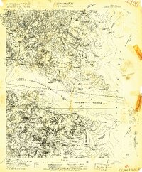
Editions of this 1968 Irvington Map
6 editions found

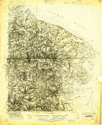
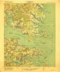
Other maps of this area
1916 · Kilmarnock
USGS Topo · 1:48,000
1917 · Heathsville
USGS Topo · 1:48,000

1917 · Urbanna
USGS Topo · 1:62,500

1917 · Morattico
USGS Topo · 1:62,500
1917 · Kilmarnock
USGS Topo · 1:62,500

1918 · Morattico
USGS Topo · 1:62,500

1926 · Morattico
USGS Topo · 1:62,500
1942 · Kilmarnock
USGS Topo · 1:62,500

1943 · Richmond
USGS Topo · 1:250,000
1944 · Reedville
USGS Topo · 1:31,680