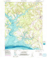
1968 Map of Irvington
USGS Topo · Published 1993About this map
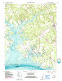
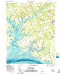
The Tidewater landscape of Lancaster County centers on the intricate forks of the Corrotoman River and the broad Rappahannock River shoreline. This mid-century survey reveals a coastal economy deeply tied to the water, visible through maritime infrastructure like Ottoman Wharf and Moran Wharf, as well as the prominent Norris Bridge connecting the region to Middlesex County. The interior of the Northern Neck is dotted with historical anchors, most notably the Christ Church (Historic Site) and several rural congregations including Sharon Ch and Wesley Ch. Settlement patterns cluster around established towns like Kilmarnock and Irvington, while recreational and social spaces like the Wharton Grove Camp, a Drive-in Theater, and the Chesapeake Academy reflect the community life of the era. The mapping of Carter Creek and numerous coves like Yopps Cove and Sams Cove underscores the geographic complexity of these Virginia waterways.
Find a feature on this map
76 named features on this map. Tap any name to fly to it.
Don’t see what you’re looking for? This feature index may not catch every label — zoom into the map to look around manually.
Map Details
Editions of this 1968 Irvington Map
6 editions found
Other maps of this area

1916 · Kilmarnock
USGS Topo · 1:48,000

1917 · Heathsville
USGS Topo · 1:48,000

1917 · Urbanna
USGS Topo · 1:62,500

1917 · Morattico
USGS Topo · 1:62,500

1917 · Kilmarnock
USGS Topo · 1:62,500

1918 · Morattico
USGS Topo · 1:62,500

1926 · Morattico
USGS Topo · 1:62,500

1942 · Kilmarnock
USGS Topo · 1:62,500

1943 · Richmond
USGS Topo · 1:250,000

1944 · Reedville
USGS Topo · 1:31,680