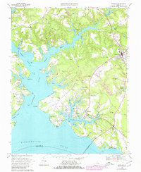
1968 Map of Irvington
USGS Topo · Published 1980About this map
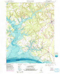
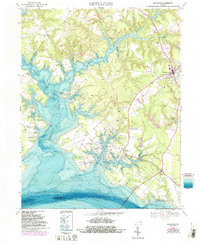
Christ Church Historic Site stands at the heart of this landscape, marking a central point in the historical geography of Lancaster County. The map details a complex coastal environment where the Rappahannock River meets the intricate fingers of the Western Branch Corrotoman River and Eastern Branch. These waterways defined the region's development, evidenced by established landings and waterfront settlements like Merry Point, Weems, and Millenbeck.
Find a feature on this map
95 named features on this map. Tap any name to fly to it.
Don’t see what you’re looking for? This feature index may not catch every label — zoom into the map to look around manually.
Map Details
Editions of this 1968 Irvington Map
6 editions found
Other maps of this area

1916 · Kilmarnock
USGS Topo · 1:48,000

1917 · Heathsville
USGS Topo · 1:48,000

1917 · Urbanna
USGS Topo · 1:62,500

1917 · Morattico
USGS Topo · 1:62,500

1917 · Kilmarnock
USGS Topo · 1:62,500

1918 · Morattico
USGS Topo · 1:62,500

1926 · Morattico
USGS Topo · 1:62,500

1942 · Kilmarnock
USGS Topo · 1:62,500

1943 · Richmond
USGS Topo · 1:250,000

1944 · Reedville
USGS Topo · 1:31,680