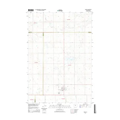
2015 Map of Isabel
USGS Topo · Published 2015About this map
Isabel sits at the convergence of three counties in this South Dakota prairie landscape, serving as a vital hub where Corson, Ziebach, and Dewey counties meet. The settlement is organized around a grid of streets including N Adams Ave and W Dakota St, with the Isabel Municipal Airport located just to the south. This 2015 U.S. Geological Survey representation reveals a region defined by extensive drainage networks, primarily Firesteel Cr in the north and Meadow Cr to the southeast. Local geography is punctuated by the presence of Isabel Lake and the Hillview Cem situated on the outskirts of the town site. The map captures the persistence of the Public Land Survey System, with township and range lines like t17n r22e dictating the rural road network and property boundaries across the open plains.
Find a feature on this map
29 named features on this map. Tap any name to fly to it.
Don’t see what you’re looking for? This feature index may not catch every label — zoom into the map to look around manually.
Map Details
Editions of this 2015 Isabel Map
This is the sole edition of this map. No revisions or reprints were ever made.
Other maps of this area
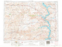
1953 · McIntosh
USGS Topo · 1:250,000
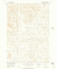
1956 · Black Horse SW
USGS Topo · 1:24,000
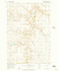
1956 · Black Horse SE
USGS Topo · 1:24,000
1956 · Cottonwood Creek SE
USGS Topo · 1:24,000
1958 · McIntosh
USGS Topo · 1:250,000
1978 · Isabel SW
USGS Topo · 1:24,000
1978 · Peach Lake
USGS Topo · 1:24,000
1978 · Isabel
USGS Topo · 1:24,000
1978 · Firesteel
USGS Topo · 1:24,000
1980 · McIntosh
USGS Topo · 1:100,000