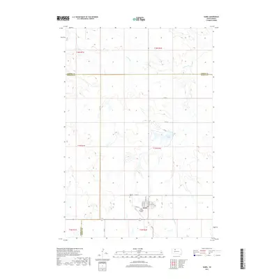
2017 Map of Isabel
USGS Topo · Published 2017About this map
The town of Isabel serves as a central hub in this high plains landscape where Corson, Ziebach, and Dewey counties meet. This 2017 survey details the grid of the settlement, including named corridors like Railway St and N Adams Ave, alongside the Isabel Municipal Airport. For those researching family history in the region, the Hillview Cem is located just west of the main town site along Co RD 1d. The surrounding terrain is defined by the drainage patterns of Firesteel Cr and Meadow Cr, which feed into the prominent Isabel Lake northeast of town. This map provides a clear record of the rural road network, such as Lake Rd and Co HWY 2, that connects these isolated communities and agricultural lands.
Find a feature on this map
28 named features on this map. Tap any name to fly to it.
Don’t see what you’re looking for? This feature index may not catch every label — zoom into the map to look around manually.
Map Details
Editions of this 2017 Isabel Map
This is the sole edition of this map. No revisions or reprints were ever made.
Other maps of this area
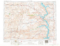
1953 · McIntosh
USGS Topo · 1:250,000
1956 · Black Horse SW
USGS Topo · 1:24,000
1956 · Black Horse SE
USGS Topo · 1:24,000
1956 · Cottonwood Creek SE
USGS Topo · 1:24,000
1958 · McIntosh
USGS Topo · 1:250,000
1978 · Isabel SW
USGS Topo · 1:24,000
1978 · Peach Lake
USGS Topo · 1:24,000
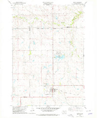
1978 · Isabel
USGS Topo · 1:24,000
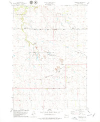
1978 · Firesteel
USGS Topo · 1:24,000
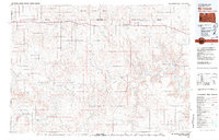
1980 · McIntosh
USGS Topo · 1:100,000