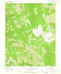
1955 Map of Isabel Valley
USGS Topo · Published 1965About this map
The Lick Observatory (University of California) borders the western edge of this mid-century landscape, overlooking a series of complex ridges and deep canyons in the Diablo Range. The interior of the sheet is dominated by the Los Huecos and Isabel Valley regions, where the Isabel Reservoir and a remote Landing Strip represent the sparse infrastructure of this cattle-ranching and research area. Steep terrain is defined by prominent peaks like Mt Isabel, Mt Helen, and Sugarloaf Mtn, with a network of seasonal drainages including Arroyo Antonio and Coyote Creek cutting through the hills. This 1955 survey provides a clear view of the rural Santa Clara County backcountry before modern development, marking isolated features such as Indian Springs and the small settlement at Grizzly Flats.
Find a feature on this map
39 named features on this map. Tap any name to fly to it.
Don’t see what you’re looking for? This feature index may not catch every label — zoom into the map to look around manually.
Map Details
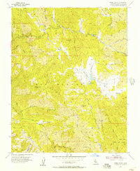
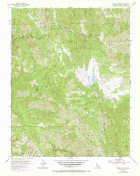
Editions of this 1955 Isabel Valley Map
3 editions found
Other maps of this area

1897 · Mt. Hamilton
USGS Topo · 1:62,500

1917 · Morgan Hill
USGS Topo · 1:62,500

1921 · Gilroy Hot Springs
USGS Topo · 1:62,500

1938 · Mt. Boardman
USGS Topo · 1:62,500

1939 · Morgan Hill
USGS Topo · 1:62,500

1939 · Gilroy Hot Springs
USGS Topo · 1:62,500

1940 · Gilroy Hot Springs
USGS Topo · 1:62,500

1941 · Morgan Hill
USGS Topo · 1:62,500

1942 · Mt. Hamilton
USGS Topo · 1:62,500

1942 · Mt. Boardman
USGS Topo · 1:62,500