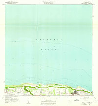
1960 Map of Isabela
USGS Topo · Published 1961About this map
Isabela and its surrounding coastal barrios define this 1960 revision, which documents the northwestern shoreline of Puerto Rico during a period of significant military and agricultural transition. The map captures the extensive Ramey Air Force Base and associated U.S. Mil. Res. on the western edge, illustrating the Cold War-era footprint of American strategic operations on the island.
Find a feature on this map
18 named features on this map. Tap any name to fly to it.
Don’t see what you’re looking for? This feature index may not catch every label — zoom into the map to look around manually.
Map Details
Editions of this 1960 Isabela Map
4 editions found
Other maps of this area

1937 · Aguadilla
USGS Topo · 1:20,000

1937 · Moca
USGS Topo · 1:20,000

1938 · Quebradillas
USGS Topo · 1:20,000

1941 · Moca
USGS Topo · 1:30,000

1941 · Isabela
USGS Topo · 1:30,000

1942 · Moca
USGS Topo · 1:30,000

1942 · Aguadilla
USGS Topo · 1:30,000
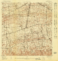
1950 · Moca NE
USGS Topo · 1:10,000
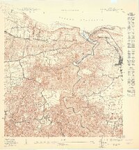
1950 · Quebradillas NO
USGS Topo · 1:10,000
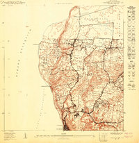
1950 · Aguadilla NE
USGS Topo · 1:10,000
Featured Places
- Isabela, Isabela
- Sector Quique Bravo, Isabela
- Reparto Santa María, Isabela
- Jardín Miramar, Isabela
- Bajura, Isabela