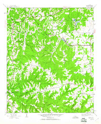
1945 Map of Isbell
USGS Topo · Published 1960About this map
Belgreen and the industrial outpost at Rockwood anchor this 1940s landscape, where traditional rural life meets the heavy machinery of the era. The land is defined by a dense network of creek branches and family-named hollows, including Sol Martin Hollow and Founders Hollow, which cut through the terrain toward Cedar Creek. Numerous small burial grounds like McWright Cem and Lawler Cem are tucked into the hills, alongside centers of community life such as New Friendship Ch and Pleasant Hill Sch. Transportation is marked by the historical path of the Military Road and the established Southern Highway. The presence of several Strip Mine operations near Rockwood Lake points to a shift toward extractive industry that began to reshape the local topography alongside established agricultural settlements like Isbell.
Find a feature on this map
54 named features on this map. Tap any name to fly to it.
Don’t see what you’re looking for? This feature index may not catch every label — zoom into the map to look around manually.
Map Details
Editions of this 1945 Isbell Map
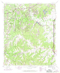
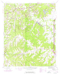
3 editions found
Other maps of this area

1924 · Tuscumbia
USGS Topo · 1:48,000

1925 · Barton
USGS Topo · 1:62,500

1926 · Tuscumbia
USGS Topo · 1:62,500

1926 · Barton
USGS Topo · 1:48,000

1929 · Barton
USGS Topo · 1:62,500

1936 · Russellville
USGS Topo · 1:24,000

1936 · Frankfort
USGS Topo · 1:24,000

1936 · Pleasant Grove
USGS Topo · 1:24,000

1936 · Hodges
USGS Topo · 1:24,000

1936 · Isbell
USGS Topo · 1:24,000