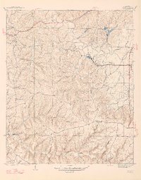
1947 Map of Isbell
USGS Topo · Published 1947About this map
Rockwood and Isbell anchor the eastern landscape of this mid-century Franklin County survey, where the Southern Railway runs parallel to the Southern Railway Highway. The terrain is defined by an intricate network of waterways including Cedar Creek and Little Bear Creek, which are fed by numerous family-named branches like Madden Br and McWright Branch. The area's industrial activity is evidenced by several Strip Mine operations scattered across the north and central hills.
Find a feature on this map
63 named features on this map. Tap any name to fly to it.
Don’t see what you’re looking for? This feature index may not catch every label — zoom into the map to look around manually.
Map Details
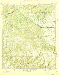
Editions of this 1947 Isbell Map
2 editions found
Other maps of this area

1924 · Tuscumbia
USGS Topo · 1:48,000

1925 · Barton
USGS Topo · 1:62,500

1926 · Tuscumbia
USGS Topo · 1:62,500

1926 · Barton
USGS Topo · 1:48,000

1929 · Barton
USGS Topo · 1:62,500

1936 · Russellville
USGS Topo · 1:24,000

1936 · Frankfort
USGS Topo · 1:24,000

1936 · Pleasant Grove
USGS Topo · 1:24,000

1936 · Hodges
USGS Topo · 1:24,000

1936 · Isbell
USGS Topo · 1:24,000