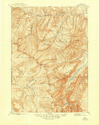
1899 Map of Ishawooa
USGS Topo · Published 1949About this map
The Stinkingwater Mining Region lies in the southeastern corner of this high-altitude landscape, surveyed by Frank Tweedy in the late 19th century. The area is defined by massive natural barriers, including the Wapiti Ridge and the broad Ishawooa Mesa. To the west, the eastern boundary of Yellowstone National Park cuts through the high ground of the Trident Plateau and Thorofare Plateau.
Find a feature on this map
62 named features on this map. Tap any name to fly to it.
Don’t see what you’re looking for? This feature index may not catch every label — zoom into the map to look around manually.
Map Details
Editions of this 1899 Ishawooa Map
4 editions found

Other maps of this area

1885 · Lake
USGS Topo · 1:125,000

1886 · Canyon
USGS Topo · 1:125,000

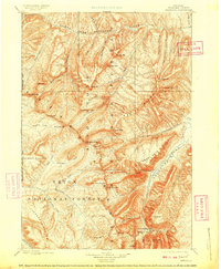
1893 · Ishawooa
USGS Topo · 1:125,000

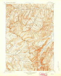
1895 · Ishawooa
USGS Topo · 1:125,000

1895 · Canyon
USGS Topo · 1:125,000

1895 · Lake
USGS Topo · 1:125,000

1896 · Lake
USGS Topo · 1:125,000

1896 · Canyon
USGS Topo · 1:125,000

1896 · Crandall Creek
USGS Topo · 1:125,000

1899 · Crandall
USGS Topo · 1:125,000