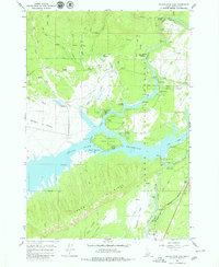
1964 Map of Island Park Dam
USGS Topo · Published 1979About this map
Island Park Reservoir dominates this high-altitude landscape, its waters held back by the Island Park Dam and regulated by a Gaging Station and several spillways. Surveyed in the early 1960s, the map reveals a region centered on recreational infrastructure and water management within the Targhee National Forest. The Henrys Fork flows through the center of the sheet, carving through Box Canyon and tumbling over Coffee Pot Rapids. The development of the shoreline is evident through established points like McCrea Ranch and I P Bills Island, while numerous public sites such as Jackson Landing Campground and Buttermilk Campground dot the banks. Evidence of local industry appears in scattered Gravel Pits, likely supporting the maintenance of the reservoir and forest roads such as the Blue Creek Jeep Trail.
Find a feature on this map
51 named features on this map. Tap any name to fly to it.
Don’t see what you’re looking for? This feature index may not catch every label — zoom into the map to look around manually.
Map Details
Editions of this 1964 Island Park Dam Map
3 editions found
Other maps of this area

1950 · Upper Red Rock Lake
USGS Topo · 1:62,500

1955 · Ashton
USGS Topo · 1:250,000

1958 · Ashton
USGS Topo · 1:250,000

1960 · Ashton
USGS Topo · 1:250,000

1964 · Hatchery Butte
USGS Topo · 1:24,000

1964 · Island Park
USGS Topo · 1:24,000

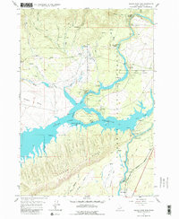
1964 · Island Park Dam
USGS Topo · 1:24,000

1964 · Sawtell PK
USGS Topo · 1:24,000

1964 · Big Springs
USGS Topo · 1:24,000

1964 · Last Chance
USGS Topo · 1:24,000