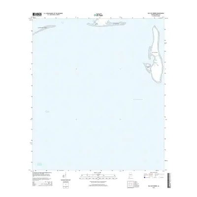
2014 Map of Isle aux Herbes
USGS Topo · Published 2014About this map
Isle aux Herbes dominates the eastern margin of this coastal Alabama survey, standing as a primary barrier between the Mississippi Sound and the open Gulf of Mexico. The map documents a fragile archipelago of low-lying islands and marshy points that define the southern reaches of Mobile County. To the north, the transition from open water to the mainland is marked by Point aux Pins and the small Isle aux Dames, which buffer the shallow waters of Sandy Bay and Grand Bay. The presence of the Intracoastal Waterway cutting through the sound highlights the ongoing importance of this maritime corridor for navigation and commerce. The western edge is defined by the Grande Batture Islands, illustrating a landscape shaped entirely by coastal processes and the shifting sands of the northern Gulf coast.
Find a feature on this map
10 named features on this map. Tap any name to fly to it.
Don’t see what you’re looking for? This feature index may not catch every label — zoom into the map to look around manually.
Map Details
Editions of this 2014 Isle aux Herbes Map
This is the sole edition of this map. No revisions or reprints were ever made.
Other maps of this area
1921 · Grand Bay
USGS Topo · 1:62,500
1921 · Petit Bois Island
USGS Topo · 1:62,500
1921 · Dauphin Island
USGS Topo · 1:62,500
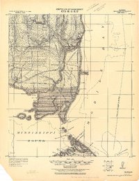
1921 · Delchamps
USGS Topo · 1:62,500
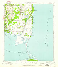
1941 · Cedar Point
USGS Topo · 1:62,500
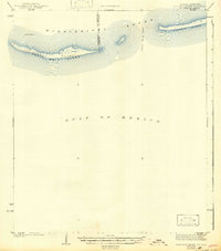
1942 · Petit Bois Island
USGS Topo · 1:62,500
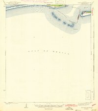
1942 · Fort Morgan
USGS Topo · 1:62,500
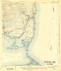
1943 · Cedar Point
USGS Topo · 1:62,500
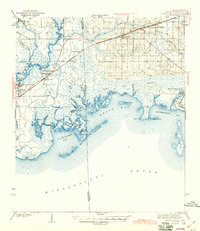
1943 · Grand Bay
USGS Topo · 1:62,500
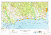
1953 · Mobile
USGS Topo · 1:250,000