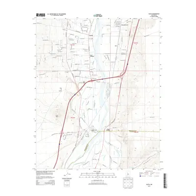
2013 Map of Isleta
USGS Topo · Published 2013About this map
Isleta Pueblo serves as a focal point in this 2013 survey of the Middle Rio Grande Valley, where the Rio Grande corridor supports a complex network of traditional irrigation and modern infrastructure. The landscape is defined by its water management, featuring a dense grid of canals including the Isleta Riverside Drain, Upper Cosique Acequia, and Tome Drain. These waterways nourish the valley floor between the elevated terrain of Black Mesa and Parea Mesa. Settlements like Pajarito, Los Padillas, and Barr line the fertile plain, accompanied by local landmarks such as the Isleta PO and several family or community burial grounds including Pajarito Cem and Los Padillas Cem. The presence of the At&SF RR and the Bernalillo Co and Valencia Co border illustrates the region's role as a vital transportation and administrative corridor south of Albuquerque.
Find a feature on this map
138 named features on this map. Tap any name to fly to it.
Don’t see what you’re looking for? This feature index may not catch every label — zoom into the map to look around manually.
Map Details
Editions of this 2013 Isleta Map
This is the sole edition of this map. No revisions or reprints were ever made.
Other maps of this area

1888 · Bernalillo
USGS Topo · 1:125,000

1889 · Albuquerque
USGS Topo · 1:125,000

1893 · Albuquerque
USGS Topo · 1:125,000

1934 · West Albuquerque
USGS Topo · 1:24,000

1934 · East Albuquerque
USGS Topo · 1:24,000

1938 · Albuquerque
USGS Topo · 1:62,500

1952 · Wind Mesa
USGS Topo · 1:24,000

1952 · Dalies
USGS Topo · 1:24,000

1952 · Hubbell Spring
USGS Topo · 1:24,000

1952 · Los Lunas SE
USGS Topo · 1:24,000