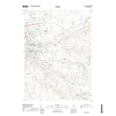
2019 Map of Ithaca East
USGS Topo · Published 2019About this map
Ithaca's complex topography and academic landscapes are meticulously charted in this 2019 survey, where the deep gorges of Fall Creek and Cascadilla Cr define the boundaries of Cornell University. The map highlights the city's significant architectural and natural landmarks, from the historic Stone Arch Bridge to the elevation changes of South Hill and Turkey Hill. Beyond the urban core, the terrain rises toward Mt Pleasant and Snyder Hill, revealing a network of smaller communities like Etna, Varna, and Brooktondale. Genealogists will find a wealth of data in the numerous burial grounds documented, including Lake View Cem and the rural Roe Cem near Besemer. This record captures the modern footprint of a region where high-altitude landmarks like the Ithaca Tompkins Regional Airport sit in contrast to the ancient hydrology of Six Mile Creek.
Find a feature on this map
203 named features on this map. Tap any name to fly to it.
Don’t see what you’re looking for? This feature index may not catch every label — zoom into the map to look around manually.
Map Details
Editions of this 2019 Ithaca East Map
This is the sole edition of this map. No revisions or reprints were ever made.
Other maps of this area

1893 · Ithaca
USGS Topo · 1:62,500

1895 · Ithaca
USGS Topo · 1:62,500

1898 · Moravia
USGS Topo · 1:62,500

1900 · Dryden
USGS Topo · 1:62,500

1902 · Moravia
USGS Topo · 1:62,500

1902 · Genoa
USGS Topo · 1:62,500

1905 · Watkins Glen
USGS Topo · 1:125,000

1906 · Catatonk
USGS Topo · 1:125,000

1942 · Ludlowville
USGS Topo · 1:24,000

1942 · Groton
USGS Topo · 1:24,000