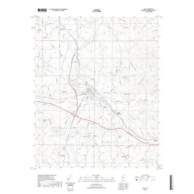
2018 Map of Iuka
USGS Topo · Published 2018About this map
Iuka serves as the focal point of this Tishomingo County landscape, situated amid a terrain defined by significant elevations and a dense network of creek branches. The presence of Woodall Mtn marks a notable topographic high point southwest of the town center, while Harwell Mtn and Ashcraft Mtn rise to the northwest. This 2018 survey illustrates a modern transportation and infrastructure layout, including the Iuka Airport and several major corridors like Veterans Memorial Dr and Constitution Dr. Local history and genealogy are well-represented by numerous family and community landmarks, such as Moores Chapel Cem, Oak Grove Cem, and Shady Grove Cem. Small settlements like Blythe Crossing and Oldham appear alongside the winding paths of Indian Cr and Little Cripple Deer Cr, reflecting the region's enduring rural character despite contemporary development.
Find a feature on this map
168 named features on this map. Tap any name to fly to it.
Don’t see what you’re looking for? This feature index may not catch every label — zoom into the map to look around manually.
Map Details
Editions of this 2018 Iuka Map
This is the sole edition of this map. No revisions or reprints were ever made.
Other maps of this area
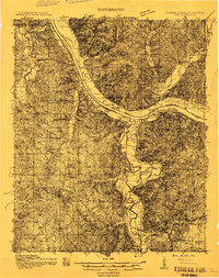
1911 · Iuka
USGS Topo · 1:48,000
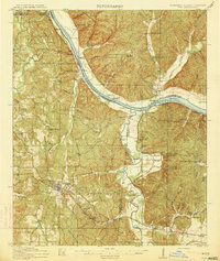
1914 · Iuka
USGS Topo · 1:62,500
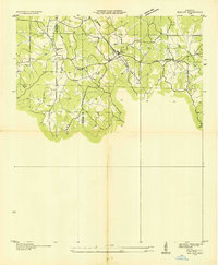
1935 · Holcut
USGS Topo · 1:24,000
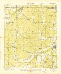
1935 · Doskie
USGS Topo · 1:24,000
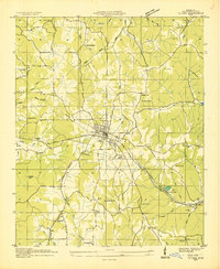
1935 · Iuka
USGS Topo · 1:24,000
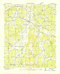
1935 · Leedy
USGS Topo · 1:24,000
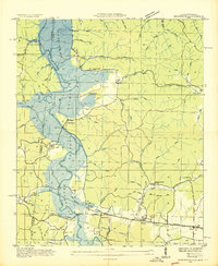
1936 · Margerum
USGS Topo · 1:24,000
1936 · Waterloo
USGS Topo · 1:24,000
1936 · Shaws
USGS Topo · 1:24,000
1936 · Bishop
USGS Topo · 1:24,000