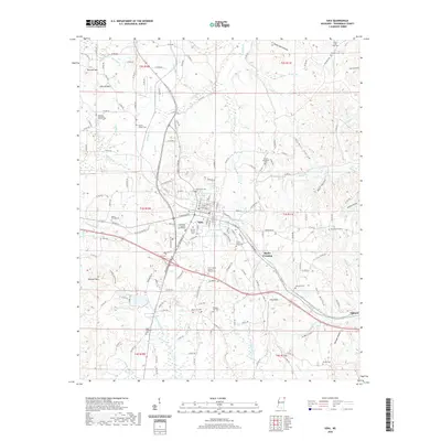
2020 Map of Iuka
USGS Topo · Published 2020About this map
Iuka serves as the focal point of this Tishomingo County landscape, centered on the Tishomingo County Courthouse and a dense network of local roads. The town's geographic character is defined by the proximity of Woodall Mtn, the highest point in Mississippi, which stands southwest of the town center. The settlement pattern extends along the primary corridors toward Blythe Crossing and Oldham, with numerous family and community cemeteries such as Cypress Grove Cem and Mount Evergreen Cem dotting the countryside.
Find a feature on this map
156 named features on this map. Tap any name to fly to it.
Don’t see what you’re looking for? This feature index may not catch every label — zoom into the map to look around manually.
Map Details
Editions of this 2020 Iuka Map
This is the sole edition of this map. No revisions or reprints were ever made.
Other maps of this area

1911 · Iuka
USGS Topo · 1:48,000

1914 · Iuka
USGS Topo · 1:62,500

1935 · Holcut
USGS Topo · 1:24,000

1935 · Doskie
USGS Topo · 1:24,000

1935 · Iuka
USGS Topo · 1:24,000

1935 · Leedy
USGS Topo · 1:24,000

1936 · Margerum
USGS Topo · 1:24,000

1936 · Waterloo
USGS Topo · 1:24,000

1936 · Shaws
USGS Topo · 1:24,000

1936 · Bishop
USGS Topo · 1:24,000