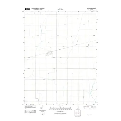
2012 Map of Ivesdale
USGS Topo · Published 2012About this map
Ivesdale and Sloan Station anchor this agricultural landscape in central Illinois, where the grid of rural roads defines the movement of people and goods. The town of Ivesdale sits at a central rail-aligned junction, featuring a compact street plan including 1st St and Co Line St. To the northeast, Sloan Station marks a specific point of transit along the rail corridor. This 2012 survey illustrates the critical role of water management in the region, dominated by the Kankakee Drainage Ditch and the meandering path of the Kaskaskia River. For those researching family history or local land use, the map identifies specific burial grounds such as Saint Joseph Cem near the rail line and Rice Cem to the southeast, both serving as permanent markers of the community's ancestral footprint in the fertile prairie.
Find a feature on this map
44 named features on this map. Tap any name to fly to it.
Don’t see what you’re looking for? This feature index may not catch every label — zoom into the map to look around manually.
Map Details
Editions of this 2012 Ivesdale Map
This is the sole edition of this map. No revisions or reprints were ever made.
Other maps of this area

1907 · Mahomet
USGS Topo · 1:62,500

1937 · Monticello
USGS Topo · 1:48,000

1943 · Monticello
USGS Topo · 1:62,500

1950 · Tuscola
USGS Topo · 1:62,500

1955 · Bement
USGS Topo · 1:62,500

1957 · Mahomet
USGS Topo · 1:62,500

1957 · Bondville
USGS Topo · 1:24,000

1958 · Peoria
USGS Topo · 1:250,000

1958 · Decatur
USGS Topo · 1:250,000

1961 · Peoria
USGS Topo · 1:250,000