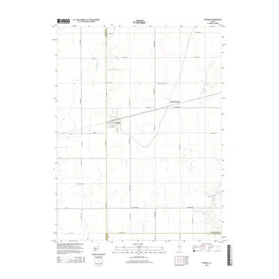
2015 Map of Ivesdale
USGS Topo · Published 2015About this map
Ivesdale sits at the convergence of three counties—Champaign, Piatt, and Douglas—serving as a focal point for this agrarian landscape. The village's street grid, including Johnson St and S Sanford St, is clearly defined alongside the rail corridor that once supported its growth. Further east, Sloan Station marks a critical point in the local transportation network, while the surrounding prairie is intersected by a complex system of waterways and infrastructure designed for land management. The presence of Saint Joseph Cem and Rice Cem provides valuable landmarks for genealogists, situated near natural features like the Kaskaskia River and the Kankakee Drainage Ditch. This 2015 survey illustrates how the rectilinear county road system, such as Co Road 500 N, dictates the modern geography of this productive Illinois farm country.
Find a feature on this map
44 named features on this map. Tap any name to fly to it.
Don’t see what you’re looking for? This feature index may not catch every label — zoom into the map to look around manually.
Map Details
Editions of this 2015 Ivesdale Map
This is the sole edition of this map. No revisions or reprints were ever made.
Other maps of this area

1907 · Mahomet
USGS Topo · 1:62,500

1937 · Monticello
USGS Topo · 1:48,000

1943 · Monticello
USGS Topo · 1:62,500

1950 · Tuscola
USGS Topo · 1:62,500

1955 · Bement
USGS Topo · 1:62,500

1957 · Mahomet
USGS Topo · 1:62,500

1957 · Bondville
USGS Topo · 1:24,000

1958 · Peoria
USGS Topo · 1:250,000

1958 · Decatur
USGS Topo · 1:250,000

1961 · Peoria
USGS Topo · 1:250,000