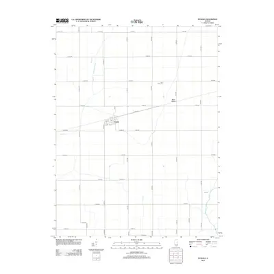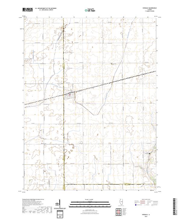
2024 Map of Ivesdale
USGS Topo · Published 2024About this map
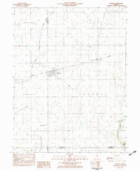
Ivesdale serves as the central hub for this portion of the Illinois prairie, located at the intersection of the county lines for Piatt, Champaign, and Douglas. The town's grid is clearly defined by numbered streets like 3rd St and 5th St, anchored by Johnson St and Co Rd 17. The surrounding landscape is dominated by sophisticated water management systems essential to the region's agricultural success, including the Kankakee Drainage Ditch and the structured channels of Lake Fork and East Lake Fork.
Find a feature on this map
54 named features on this map. Tap any name to fly to it.
Don’t see what you’re looking for? This feature index may not catch every label — zoom into the map to look around manually.
Map Details
Editions of this 2024 Ivesdale Map
This is the sole edition of this map. No revisions or reprints were ever made.
Historical Maps of Sloan Station Through Time
7 maps found