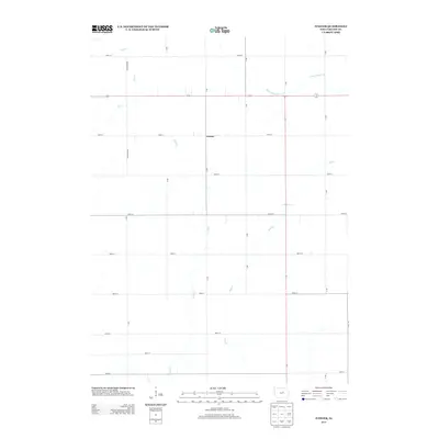
2013 Map of Ivester
USGS Topo · Published 2013About this map
The settlement of Ivester sits at the geographic center of this agricultural landscape in Grundy County, where a rigid grid of section roads defines the rural economy. The terrain is deeply inscribed by a network of drainage, primarily moving toward the southeast via Wolf Cr and Doud Cr, while the northern portion of the quadrangle is drained by Black Hawk Cr and Bear Cr. These waterways carve subtle paths through the flat prairie, intersecting major local thoroughfares like 14 and 175. This 2013 survey illustrates the enduring patterns of Iowa's rural land division, where small named localities like Ivester remain as central points within a landscape dominated by large-scale farming and a systematic transportation network of lettered and numbered roads.
Find a feature on this map
27 named features on this map. Tap any name to fly to it.
Don’t see what you’re looking for? This feature index may not catch every label — zoom into the map to look around manually.
Map Details
Editions of this 2013 Ivester Map
This is the sole edition of this map. No revisions or reprints were ever made.
Other maps of this area

1954 · Waterloo
USGS Topo · 1:250,000

1955 · Waterloo
USGS Topo · 1:250,000

1960 · Marshalltown
USGS Topo · 1:62,500

1960 · Conrad West
USGS Topo · 1:24,000

1960 · Conrad East
USGS Topo · 1:24,000

1975 · Union
USGS Topo · 1:24,000

1979 · Grundy Center
USGS Topo · 1:24,000

1979 · Holland
USGS Topo · 1:24,000

1979 · Steamboat Rock
USGS Topo · 1:24,000

1979 · Eldora
USGS Topo · 1:24,000