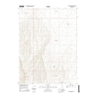
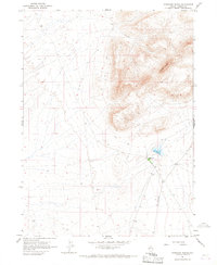
2014 Map of Izzenhood Spring
USGS Topo · Published 2014About this map
Sterritt Peak rises above the high desert terrain of the Sheep Creek Range in this modern-era digital survey of north-central Nevada. The landscape is defined by its seasonal water sources and steep topographic changes, with Izzenhood Spring and Sagebrush Spring serving as vital landmarks in an otherwise arid environment. Along the western edge, the path of Sheep Cr winds through the canyons between the mountain peaks. The map detail reflects the persistence of original land survey divisions, with township and range lines like t34n r46e overlaying notable elevations such as Workhorse Butte and the flat-topped Shoshone Mesa. This record captures the contemporary state of public land management and the unchanged rugged character of the Lander County backcountry.
Find a feature on this map
13 named features on this map. Tap any name to fly to it.
Don’t see what you’re looking for? This feature index may not catch every label — zoom into the map to look around manually.
Map Details
Editions of this 2014 Izzenhood Spring Map
This is the sole edition of this map. No revisions or reprints were ever made.
Other maps of this area

1955 · Winnemucca
USGS Topo · 1:250,000
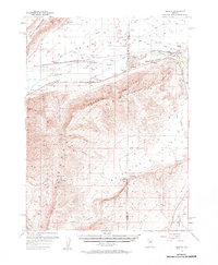
1957 · Dunphy
USGS Topo · 1:62,500
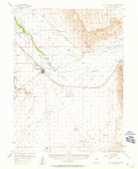
1957 · Battle Mountain
USGS Topo · 1:62,500

1958 · Winnemucca
USGS Topo · 1:250,000
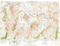
1962 · Winnemucca
USGS Topo · 1:250,000
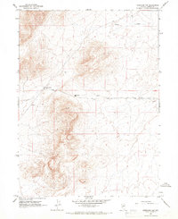
1965 · Izzenhood Gap
USGS Topo · 1:24,000
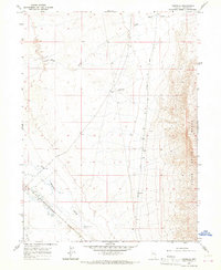
1965 · Russells
USGS Topo · 1:24,000
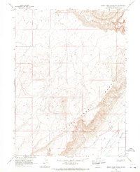
1965 · Sheep Creek Range SW
USGS Topo · 1:24,000
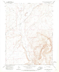
1965 · Sheep Creek Range NW
USGS Topo · 1:24,000
1965 · Izzenhood Ranch
USGS Topo · 1:24,000