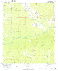
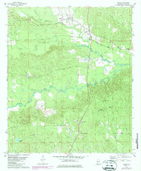
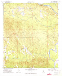
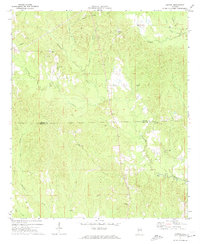
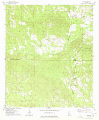
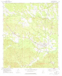
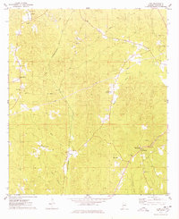
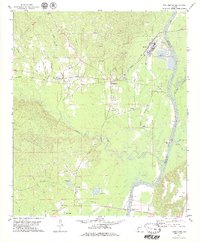
1978 Map of Jachin
USGS Topo · Published 1979About this map
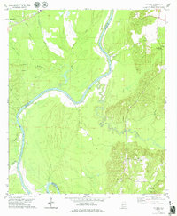
The Meridian and Bigbee corridor anchors this portion of Choctaw County, tracing a path through the rolling timberlands of western Alabama. Small settlements like Jachin and Robjohn appear as quiet rural hubs, while the landscape is defined by an intricate network of waterways, including Tuckabum Creek, Bogue Chitto, and the meandering Yantley Creek. These streams have long influenced the local topography and land use in this part of the state, south of the Black Warrior River basin.
Find a feature on this map
27 named features on this map. Tap any name to fly to it.
Don’t see what you’re looking for? This feature index may not catch every label — zoom into the map to look around manually.
Map Details
Editions of this 1978 Jachin Map
2 editions found
Other maps of this area

1953 · Meridian
USGS Topo · 1:250,000

1957 · Meridian
USGS Topo · 1:250,000

1965 · Meridian
USGS Topo · 1:250,000
1971 · Whitfield
USGS Topo · 1:24,000
1971 · Gaston
USGS Topo · 1:24,000
1974 · Ward
USGS Topo · 1:24,000
1974 · Lisman
USGS Topo · 1:24,000
1974 · Land
USGS Topo · 1:24,000
1978 · Pennington
USGS Topo · 1:24,000
1978 · Putnam
USGS Topo · 1:24,000