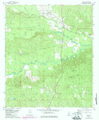
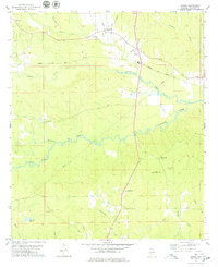
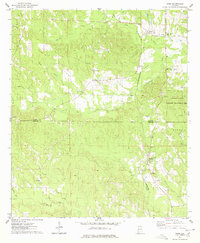
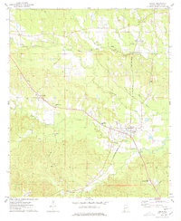
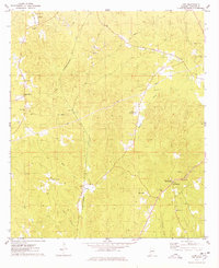
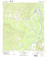
1978 Map of Jachin
USGS Topo · Published 1987About this map
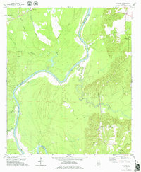
The Meridian and Bigbee rail line cuts diagonally across this Choctaw County landscape, anchoring the small settlement of Jachin. This interior region of Alabama is defined by a dense network of watercourses, including Yantley Creek and the winding Tuckabum Creek, which navigate through heavily wooded terrain. Local life in the late 1970s was centered around several established rural congregations such as Morning Star Ch, Chapel Hill, and Shady Grove Ch.
Find a feature on this map
29 named features on this map. Tap any name to fly to it.
Don’t see what you’re looking for? This feature index may not catch every label — zoom into the map to look around manually.
Map Details
Editions of this 1978 Jachin Map
2 editions found
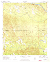
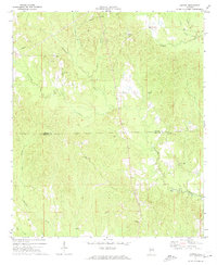
Other maps of this area

1953 · Meridian
USGS Topo · 1:250,000

1957 · Meridian
USGS Topo · 1:250,000

1965 · Meridian
USGS Topo · 1:250,000
1971 · Whitfield
USGS Topo · 1:24,000
1971 · Gaston
USGS Topo · 1:24,000
1974 · Ward
USGS Topo · 1:24,000
1974 · Lisman
USGS Topo · 1:24,000
1974 · Land
USGS Topo · 1:24,000
1978 · Pennington
USGS Topo · 1:24,000
1978 · Putnam
USGS Topo · 1:24,000