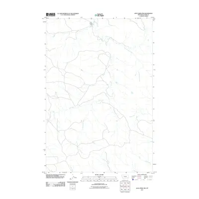
2011 Map of Jack Creek NW
USGS Topo · Published 2011About this map
Moon Creek and its complex network of tributaries define the high plains of Custer County in this early 21st-century topography. The landscape is marked by the distinct drainage patterns of East Fork Moon Creek, Thorpe Creek, and Corral Creek, showing the natural erosion of the Montana range. A key man-made feature in the northern portion of the quadrangle is the Colvin Number 2 Dam, reflecting the critical importance of water management and livestock reservoirs in this arid ranching country. The map captures the sparse road network and the isolation typical of the region, where named drainages like Geddes Creek and Plunket Creek serve as primary landmarks for navigation and land division.
Find a feature on this map
8 named features on this map. Tap any name to fly to it.
Don’t see what you’re looking for? This feature index may not catch every label — zoom into the map to look around manually.
Map Details
Editions of this 2011 Jack Creek NW Map
This is the sole edition of this map. No revisions or reprints were ever made.
Other maps of this area

1953 · Miles City
USGS Topo · 1:250,000

1954 · Forsyth
USGS Topo · 1:250,000

1957 · Miles City
USGS Topo · 1:250,000

1957 · Forsyth
USGS Topo · 1:250,000

1958 · Miles City
USGS Topo · 1:250,000

1958 · Forsyth
USGS Topo · 1:250,000

1968 · Lignite Creek
USGS Topo · 1:24,000

1968 · Paddy Fay Creek
USGS Topo · 1:24,000

1968 · Horton
USGS Topo · 1:24,000
1969 · Jack Creek NW
USGS Topo · 1:24,000