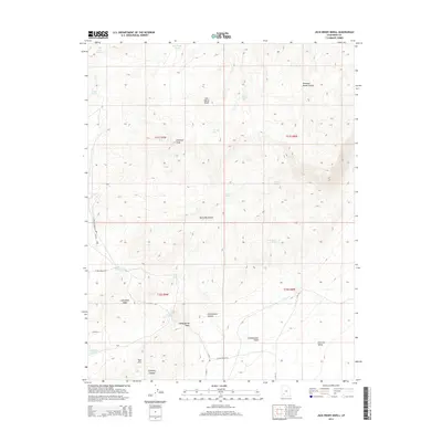
2014 Map of Jack Henry Knoll
USGS Topo · Published 2014About this map
Jack Henry Knoll stands as a central landmark in this high-desert portion of Iron County, where the southern reaches of the Black Mountains meet the northern edge of the Parowan Valley. The landscape is defined by its water sources, essential for ranching and survival in this arid environment, including Ryan Spring, Decker Spring, and the curiously named Jack Henry Seep. In the northeast, Poorman Ranch Canyon cuts through the terrain, while the Red Hills rise in the southwest near Stringies Canyon. The mapping of range lines like t31s r9w and the presence of roads such as Willow Springs Loop and N Hills Rd suggest a modern land management framework laid over an area historically shaped by seasonal washes like Jackrabbit Wash and Cottonwood Wash.
Find a feature on this map
34 named features on this map. Tap any name to fly to it.
Don’t see what you’re looking for? This feature index may not catch every label — zoom into the map to look around manually.
Map Details
Editions of this 2014 Jack Henry Knoll Map
This is the sole edition of this map. No revisions or reprints were ever made.
Other maps of this area

1885 · Beaver
USGS Topo · 1:250,000

1886 · Kanab
USGS Topo · 1:250,000

1953 · Minersville
USGS Topo · 1:24,000

1953 · Richfield
USGS Topo · 1:250,000

1953 · Cedar City
USGS Topo · 1:250,000

1958 · Richfield
USGS Topo · 1:250,000

1958 · Cedar City
USGS Topo · 1:250,000

1958 · Minersville
USGS Topo · 1:62,500

1962 · Cedar City
USGS Topo · 1:250,000

1971 · Buckhorn Flat
USGS Topo · 1:24,000