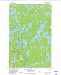
1981 Map of Jackfish Lake
USGS Topo · Published 1982About this map
Crooked Lake straddles the international boundary in this early 1980s survey, serving as a primary corridor for the Boundary Waters Canoe Area Wilderness and Quetico Provincial Park. The map documents a labyrinth of interconnected waterways and portages along the Ontario-Minnesota border, centered on the massive landform of Hunter Island. While the landscape is dominated by water bodies like Jackfish Lake, Wilson Lake, and Bart Lake, specific landmarks such as Table Rock and Gardners Mountain provide essential orientation points for those navigating the wilderness. The detailed drainage patterns of the Robinson River and various bays including Gardner Bay and Thursday Bay illustrate the complex hydrography of the Superior National Forest before modern digital mapping, capturing the portage routes and wilderness character of the region.
Find a feature on this map
40 named features on this map. Tap any name to fly to it.
Don’t see what you’re looking for? This feature index may not catch every label — zoom into the map to look around manually.
Map Details
Editions of this 1981 Jackfish Lake Map
2 editions found
Other maps of this area

1957 · Basswood Lake
USGS Topo · 1:62,500

1957 · Quetico
USGS Topo · 1:250,000

1963 · Fourtown Lake
USGS Topo · 1:24,000
1963 · Friday Bay
USGS Topo · 1:24,000

1968 · Quetico
USGS Topo · 1:250,000
1976 · Basswood Lake SW
USGS Topo · 1:24,000
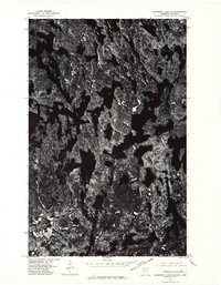
1976 · Basswood Lake NW
USGS Topo · 1:24,000
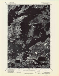
1976 · Basswood Lake SE
USGS Topo · 1:24,000

1977 · Basswood Lake
USGS Topo · 1:100,000
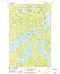
1981 · Basswood Lake West
USGS Topo · 1:24,000