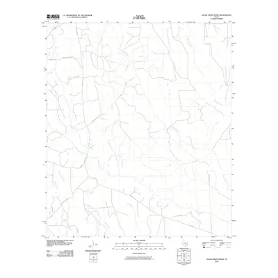
2010 Map of Jacks Creek North
USGS Topo · Published 2010About this map
Jacks Creek and Big Cypress Creek anchor this section of Polk County, where the landscape is defined by an intricate network of waterways and timber-access routes. The drainage patterns of Horsepen Creek, Little Hickory Creek, and Hickory Creek illustrate the low-lying topography of East Texas just before the turn of the decade. A dense grid of local roads, many bearing family names, suggests a history of rural settlement and agriculture.
Find a feature on this map
21 named features on this map. Tap any name to fly to it.
Don’t see what you’re looking for? This feature index may not catch every label — zoom into the map to look around manually.
Map Details
Editions of this 2010 Jacks Creek North Map
This is the sole edition of this map. No revisions or reprints were ever made.
Other maps of this area

1954 · Beaumont
USGS Topo · 1:250,000

1955 · Woodville
USGS Topo · 1:62,500

1955 · Camden
USGS Topo · 1:62,500

1957 · Beaumont
USGS Topo · 1:250,000

1958 · Segno
USGS Topo · 1:62,500

1958 · Warren
USGS Topo · 1:62,500

1984 · Segno
USGS Topo · 1:24,000

1984 · Hortense
USGS Topo · 1:24,000

1984 · Beaumont
USGS Topo · 1:250,000

1984 · Jacks Creek South
USGS Topo · 1:24,000