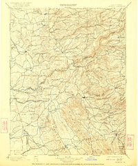
1902 Map of Jackson
USGS Topo · Published 1922About this map
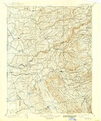
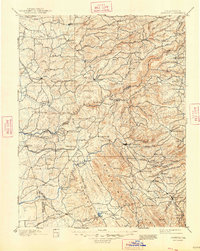
Jackson and the surrounding Sierra Nevada foothills appear here during a transformative era of mining and rail expansion. The landscape is defined by the deep canyons of the Mokelumne River and its forks, where gold-country outposts like Mokelumne Hill and Rich Gulch Mine were established. Industrial infrastructure is prominent, with the Amador Branch Railroad reaching Ione and the San Joaquin and Sierra Nevada Railroad serving Valley Springs. The map reveals a high density of small mining camps and waystations such as Jesus Maria, Jenny Lind, and Altaville, many of which were vital nodes in the 19th-century resource economy. To the south, the terrain rises toward the Bear Mountains and Gopher Ridge, while the legendary mining center of Angels Camp anchors the southeastern corner of the quadrangle, illustrating the complex network of flumes, mills, and camps that once dominated this region.
Find a feature on this map
124 named features on this map. Tap any name to fly to it.
Don’t see what you’re looking for? This feature index may not catch every label — zoom into the map to look around manually.
Map Details
Editions of this 1902 Jackson Map
7 editions found

Other maps of this area

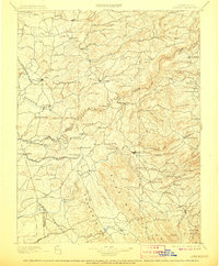
1889 · Jackson
USGS Topo · 1:125,000

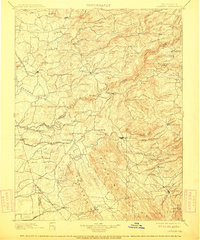
1889 · Pyramid Peak
USGS Topo · 1:125,000

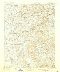
1891 · Sacramento
USGS Topo · 1:125,000

1891 · Big Trees
USGS Topo · 1:125,000

1891 · Placerville
USGS Topo · 1:125,000

1891 · Pyramid Peak
USGS Topo · 1:125,000

1892 · Jackson
USGS Topo · 1:125,000

1892 · Sacramento
USGS Topo · 1:125,000

1892 · Placerville
USGS Topo · 1:125,000

1893 · Placerville
USGS Topo · 1:125,000