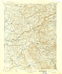
1902 Map of Jackson
USGS Topo · Published 1938About this map
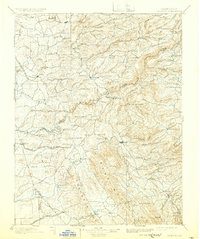
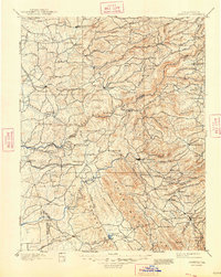
The California Mother Lode region at the turn of the century is defined by its deep integration of mining operations, water management, and expanding rail lines. This survey, conducted in 1888, highlights the complex terrain of the Sierra foothills where the Mokelumne River and Calaveras River cut through the landscape. Mining legacy is central to the area's identity, evidenced by the Rich Gulch & Mine and the timber-processing Saw Mill near the high ridges.
Find a feature on this map
123 named features on this map. Tap any name to fly to it.
Don’t see what you’re looking for? This feature index may not catch every label — zoom into the map to look around manually.
Map Details
Editions of this 1902 Jackson Map
7 editions found

Other maps of this area

1889 · Jackson
USGS Topo · 1:125,000

1889 · Pyramid Peak
USGS Topo · 1:125,000

1891 · Sacramento
USGS Topo · 1:125,000

1891 · Big Trees
USGS Topo · 1:125,000

1891 · Placerville
USGS Topo · 1:125,000

1891 · Pyramid Peak
USGS Topo · 1:125,000

1892 · Jackson
USGS Topo · 1:125,000

1892 · Sacramento
USGS Topo · 1:125,000

1892 · Placerville
USGS Topo · 1:125,000

1893 · Placerville
USGS Topo · 1:125,000