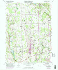
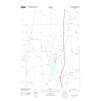
1960 Map of Jackson Center
USGS Topo · Published 1972About this map
Jackson Center and the surrounding townships of Jackson, Coolspring, and Lake are defined by a network of rural crossroads and early industrial infrastructure. In this 1960s landscape, the Penn Central and Bessemer And Lake Erie railroads cut through the terrain, connecting small hubs like Filer Corners and Norths Mills to larger markets. The map reveals a high density of small-scale social landmarks, including Oak Grove Ch and Fairview Ch, alongside numerous family and community burial grounds such as Zahniser Cem and the Old Cool Spring Cem. A Strip Mine in the southeast and various Gas Well sites indicate the localized extraction economy of the period. Natural features like the Halfmoon Swamp and the meandering Little Shenango River underscore the low-lying, water-rich character of this Mercer County landscape before modern developments altered the rural fabric.
Find a feature on this map
35 named features on this map. Tap any name to fly to it.
Don’t see what you’re looking for? This feature index may not catch every label — zoom into the map to look around manually.
Map Details
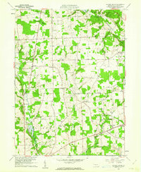
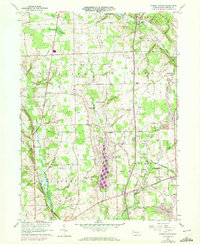
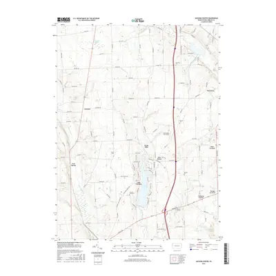
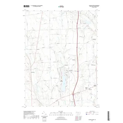
Editions of this 1960 Jackson Center Map
3 editions found
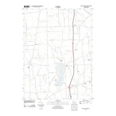
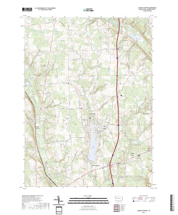
Historical Maps of Fairview Township Through Time
6 maps found
Featured Locations
- New Vernon Township, PA
- Perry Township, PA
- Jackson Center, PA
- Coolspring Township, PA
- Fairview Township, PA