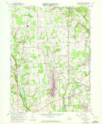
1960 Map of Jackson Center
USGS Topo · Published 1972About this map
Jackson Center and Stoneboro anchor this survey of Mercer County, revealing a landscape defined by small crossroads settlements and a deep agricultural and industrial heritage. The map documents a transition in regional transit, capturing the overlap of the Penn Central and the Bessemer and Lake Erie rail lines as they navigate the wetlands of Halfmoon Swamp and the course of Otter Creek. Genealogists will find a wealth of specific local landmarks, including a high density of rural burial grounds like Zahniser Cem and Old Cool Spring Cem, alongside numerous country sanctuaries such as Oak Grove Ch. Industrial activity is evident in the southeast, where a Strip Mine sits near the headwaters of Yellow Creek. The survey, updated with 1970 photogrammetric data, also details the rural infrastructure of Five Points and Norths Mills, marking the persistence of these small communities in the mid-20th century.
Find a feature on this map
35 named features on this map. Tap any name to fly to it.
Don’t see what you’re looking for? This feature index may not catch every label — zoom into the map to look around manually.
Map Details
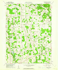
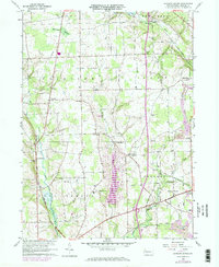
Editions of this 1960 Jackson Center Map
3 editions found
Other maps of this area

1905 · Neshannock
USGS Topo · 1:62,500

1907 · Neshannock
USGS Topo · 1:62,500

1908 · Shenango
USGS Topo · 1:62,500

1911 · Stoneboro
USGS Topo · 1:62,500

1913 · Stoneboro
USGS Topo · 1:62,500

1913 · Mercer
USGS Topo · 1:62,500

1939 · Mercer
USGS Topo · 1:62,500

1943 · Mercer
USGS Topo · 1:62,500

1943 · Stoneboro
USGS Topo · 1:62,500

1950 · Cleveland
USGS Topo · 1:250,000
Featured Places
- Fairview Township, PA
- New Vernon Township, PA
- Jackson Center, PA
- Coolspring Township, PA
- Perry Township, PA