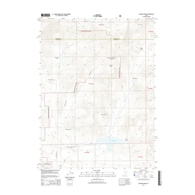
2014 Map of Jackson Draw
USGS Topo · Published 2014About this map
Ashley National Forest dominates this high-altitude landscape along the border of Daggett and Uintah Counties. The map reveals a remote ranching and grazing territory defined by significant drainage systems such as Jackson Draw and Davenport Draw. Water management is central to the area's utility, anchored by the Matt Warner Reservoir in the southern portion and supported by perennial water sources like Serviceberry Spring and Bullpen Spring.
Find a feature on this map
32 named features on this map. Tap any name to fly to it.
Don’t see what you’re looking for? This feature index may not catch every label — zoom into the map to look around manually.
Map Details
Editions of this 2014 Jackson Draw Map
This is the sole edition of this map. No revisions or reprints were ever made.
Other maps of this area

1885 · Ashley
USGS Topo · 1:250,000

1950 · Burnt Cabin Gorge
USGS Topo · 1:24,000

1950 · Blair Basin
USGS Topo · 1:24,000

1952 · Warren Draw
USGS Topo · 1:24,000

1952 · Clay Basin
USGS Topo · 1:24,000

1952 · Dutch John Mtn
USGS Topo · 1:24,000

1952 · Goslin Mtn
USGS Topo · 1:24,000

1954 · Vernal
USGS Topo · 1:250,000

1958 · Vernal
USGS Topo · 1:250,000

1960 · Vernal
USGS Topo · 1:250,000