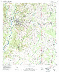
1954 Map of Jackson
USGS Topo · Published 1988About this map
East Louisiana State Hospital grounds dominate the central landscape of this mid-century survey, surrounded by several outlying hospital colonies including Colony No 1 and Colony No 6. The town of Jackson sits just north of these facilities, positioned east of the winding Thompson Creek and its many tributaries like Cooks Branch. The terrain is marked by numerous family-named cemeteries and rural churches, such as Mt Gideon Ch and New Zion Ch, which dot the parish landscape.
Find a feature on this map
46 named features on this map. Tap any name to fly to it.
Don’t see what you’re looking for? This feature index may not catch every label — zoom into the map to look around manually.
Map Details
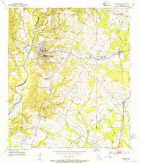
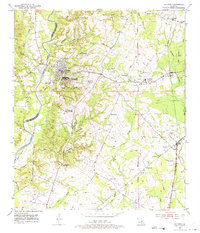
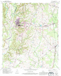
Editions of this 1954 Jackson Map
4 editions found
Other maps of this area

1906 · Bayou Sara
USGS Topo · 1:125,000

1939 · St. Francisville
USGS Topo · 1:62,500

1939 · Zachary
USGS Topo · 1:62,500

1941 · Norwood
USGS Topo · 1:31,680

1941 · Lost Creek
USGS Topo · 1:31,680

1945 · Norwood
USGS Topo · 1:31,680

1945 · Jackson
USGS Topo · 1:31,680

1945 · Lost Creek
USGS Topo · 1:31,680

1946 · Clinton
USGS Topo · 1:31,680

1954 · Zachary
USGS Topo · 1:24,000