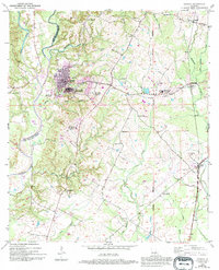
1954 Map of Jackson
USGS Topo · Published 1994About this map
The town of Jackson and the sprawling grounds of the East Louisiana State Hospital dominate this mid-century topographic record of East Feliciana Parish. The landscape is defined by the complex water systems of West Fork Thompson Creek and McRowen Creek, with the institutional architecture of the hospital complex expanding into numbered outposts like Colony No. 5 and Colony No. 2. This survey, updated in the early 1990s, captures a transition in local infrastructure as the Illinois Central Gulf RR runs north-south through McManus and Ethel.
Find a feature on this map
43 named features on this map. Tap any name to fly to it.
Don’t see what you’re looking for? This feature index may not catch every label — zoom into the map to look around manually.
Map Details
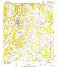
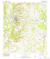
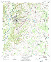
Editions of this 1954 Jackson Map
4 editions found
Other maps of this area

1906 · Bayou Sara
USGS Topo · 1:125,000

1939 · St. Francisville
USGS Topo · 1:62,500

1939 · Zachary
USGS Topo · 1:62,500

1941 · Norwood
USGS Topo · 1:31,680

1941 · Lost Creek
USGS Topo · 1:31,680

1945 · Norwood
USGS Topo · 1:31,680

1945 · Jackson
USGS Topo · 1:31,680

1945 · Lost Creek
USGS Topo · 1:31,680

1946 · Clinton
USGS Topo · 1:31,680

1954 · Zachary
USGS Topo · 1:24,000