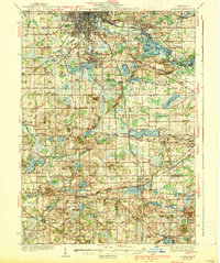
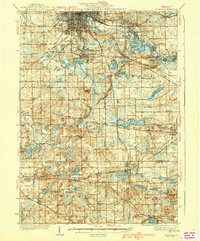
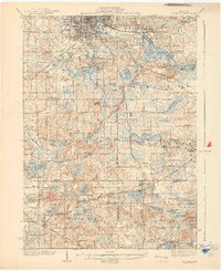
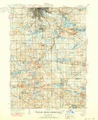
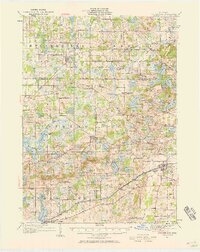
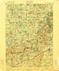
1939 Map of Jackson
USGS Topo · Published 1939About this map
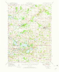
Jackson anchors the northern edge of this landscape, where the Michigan Central and New York Central rail corridors converge to serve the region's industrial and agricultural needs. South of the city, the terrain is defined by a dense network of glacial lakes and wetlands, including Vandercook Lake and the extensive Ella Sharp Park. The map reveals a mid-century rural infrastructure dominated by small school districts, with names like Herrington Sch and Dibble Sch marking the center of local communities.
Find a feature on this map
93 named features on this map. Tap any name to fly to it.
Don’t see what you’re looking for? This feature index may not catch every label — zoom into the map to look around manually.
Map Details
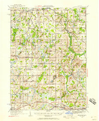
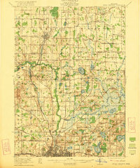
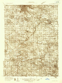
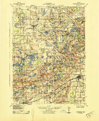
Editions of this 1939 Jackson Map
4 editions found
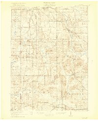
Other maps of this area
1919 · Stockbridge
USGS Topo · 1:62,500
1919 · Springport
USGS Topo · 1:62,500

1919 · Rives Junction
USGS Topo · 1:62,500
1921 · Rives Junction
USGS Topo · 1:62,500
1921 · Springport
USGS Topo · 1:62,500
1922 · Stockbridge
USGS Topo · 1:62,500
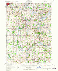
1935 · Jackson
USGS Topo · 1:48,000
1942 · Stockbridge
USGS Topo · 1:62,500
1948 · Spring Arbor
USGS Topo · 1:62,500
1948 · Manchester
USGS Topo · 1:62,500
Featured Places
- Jackson, MI
- Leoni, Leoni Township
- Spring Arbor Township, MI
- Vandercook Lake, Summit Township
- Somerset, Somerset Township