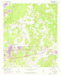
1963 Map of Jackson SE
USGS Topo · Published 1971About this map
The Pearl River forms the western boundary of this landscape as it flows through the transition from rural woodland to expanding urban developments in Hinds Co Rankin Co County. By the early 1970s, suburban growth is visibly pressing eastward into the countryside, marked by the emergence of McLaurin Heights and the infrastructure serving Thompson Field. This expansion contrasts with the longstanding agricultural character of the region, where numerous country churches like St James Ch and Sweet Home Ch served established communities.
Find a feature on this map
42 named features on this map. Tap any name to fly to it.
Don’t see what you’re looking for? This feature index may not catch every label — zoom into the map to look around manually.
Map Details
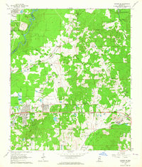
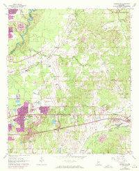
Editions of this 1963 Jackson SE Map
3 editions found
Other maps of this area

1903 · Jackson
USGS Topo · 1:125,000

1905 · Jackson
USGS Topo · 1:48,000

1906 · Florence
USGS Topo · 1:62,500

1908 · Jackson
USGS Topo · 1:62,500

1908 · Florence
USGS Topo · 1:62,500

1922 · Pelahatchee
USGS Topo · 1:48,000

1924 · Pelahatchee
USGS Topo · 1:62,500

1950 · Pelahatchie
USGS Topo · 1:62,500

1952 · Pelahatchie
USGS Topo · 1:62,500

1953 · Meridian
USGS Topo · 1:250,000