
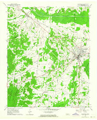
1950 Map of Jackson South
USGS Topo · Published 1952About this map
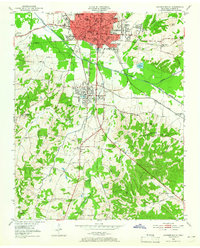
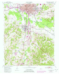
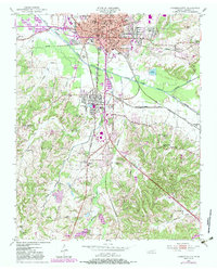
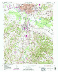
Jackson anchors the northern edge of this Madison County survey, where the Nashville Chattanooga And ST Louis and Gulf Mobile And Ohio railroads converge. This rail hub infrastructure is detailed through Frogmoor Yards and Iselin Station, illustrating the city's role as a post-war transportation center. The educational landscape is particularly dense, featuring Lambuth College, Union University, and segregated institutions of the era like Merry High Sch.
Find a feature on this map
59 named features on this map. Tap any name to fly to it.
Don’t see what you’re looking for? This feature index may not catch every label — zoom into the map to look around manually.
Map Details
Editions of this 1950 Jackson South Map
5 editions found
Other maps of this area

1950 · Jackson North
USGS Topo · 1:24,000

1951 · Jackson North
USGS Topo · 1:24,000

1953 · Claybrook
USGS Topo · 1:24,000

1953 · Beech Bluff
USGS Topo · 1:24,000

1956 · Blytheville
USGS Topo · 1:250,000

1959 · Blytheville
USGS Topo · 1:250,000

1959 · Westover
USGS Topo · 1:24,000

1959 · Adair
USGS Topo · 1:24,000

1961 · Medon
USGS Topo · 1:24,000
1961 · Henderson
USGS Topo · 1:24,000