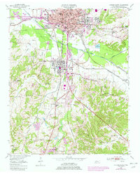
1950 Map of Jackson South
USGS Topo · Published 1979About this map
Jackson sits at the northern edge of this Madison County survey, where the South Fork Forked Deer River splits the urban landscape from the rural southern townships. Higher education centers like Union University and Lambuth College anchor the city, while industrial and social life is marked by the Fairgrounds and the crossing of major rail lines, including the Illinois Central Gulf Railroad. South of the city, the mill town of Bemis is documented in detail, showing its compact grid of worker housing and schools such as Young High School and West Bemis School.
Find a feature on this map
76 named features on this map. Tap any name to fly to it.
Don’t see what you’re looking for? This feature index may not catch every label — zoom into the map to look around manually.
Map Details
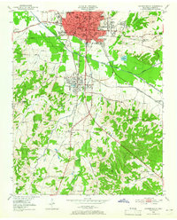
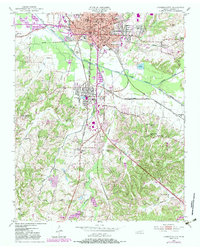
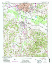
Editions of this 1950 Jackson South Map
5 editions found
Other maps of this area

1950 · Jackson South
USGS Topo · 1:24,000

1950 · Jackson North
USGS Topo · 1:24,000

1951 · Jackson North
USGS Topo · 1:24,000

1953 · Claybrook
USGS Topo · 1:24,000

1953 · Beech Bluff
USGS Topo · 1:24,000

1956 · Blytheville
USGS Topo · 1:250,000

1959 · Blytheville
USGS Topo · 1:250,000

1959 · Westover
USGS Topo · 1:24,000

1959 · Adair
USGS Topo · 1:24,000

1961 · Medon
USGS Topo · 1:24,000